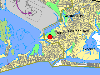
Inwood station location
Sea Conditions at
JAMAICA BAY
Inwood, New York USA
Longitude 73 degrees 45.5 minutes West
A service of LIShore
Page last updated 04/25/2024 04:10 CDT
| Inwood station location |
Sea Conditions at
|
| Tide Observations at Inwood Marina. | |||
| Time | 04/25 04:48 | Maximum, last 24 hr | Minimum, last 24 hr |
| Measured water level | -1.3 feet NGVD29 |
4.8 feet NGVD29 at 04/24 21:06 |
-1.6 feet NGVD29 at 04/25 04:06 |
| Predicted water level (astronomical tide) |
-2.4 feet NGVD29 | ||
| Measured - predicted level |
1.1 feet | ||
| Tide direction Rate of change |
flooding. 0.2 feet/hr |
||
NOTES:

About LIShore |
Data Access |
LIShore Home |
Photographs and maps |
Help LIShore grow |
Disclaimer
 LIShore is a project of the School of Marine and Atmospheric Sciences at Stony Brook University in collaboration with the LIShore partners.